RTT NELLE CENTRALI OPERATIVE - La guida definitiva per l’implementazione
SISTEMI DI CONTROLLO ACCESSI - Migliorare la sicurezza delle infrastrutture critiche
PATRIMONIO CULTURALE ITALIANO - Approcci innovativi al monitoraggio
MONITORAGGIO PARCHI NATURALI - Una soluzione per la conservazione e il turismo sostenibile
PROGETTO NOCTUA - Landscape monitoring. For everyone. From space.
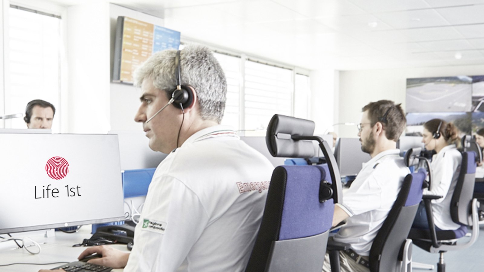
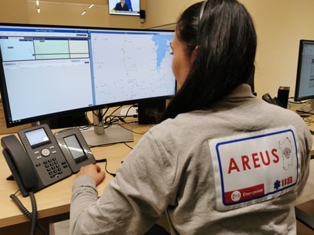
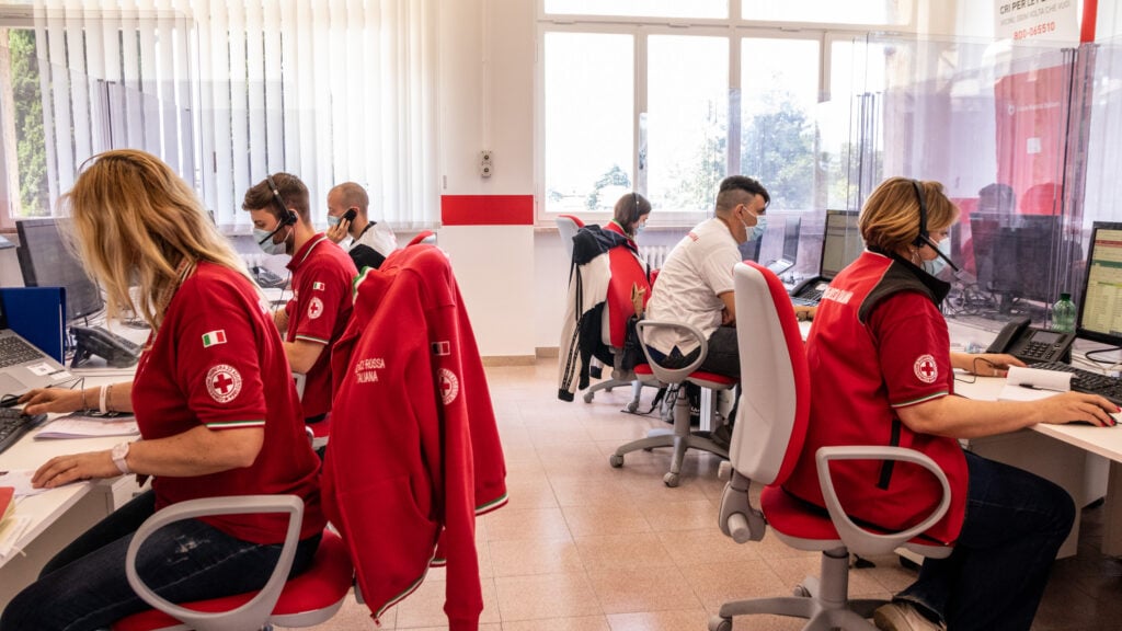
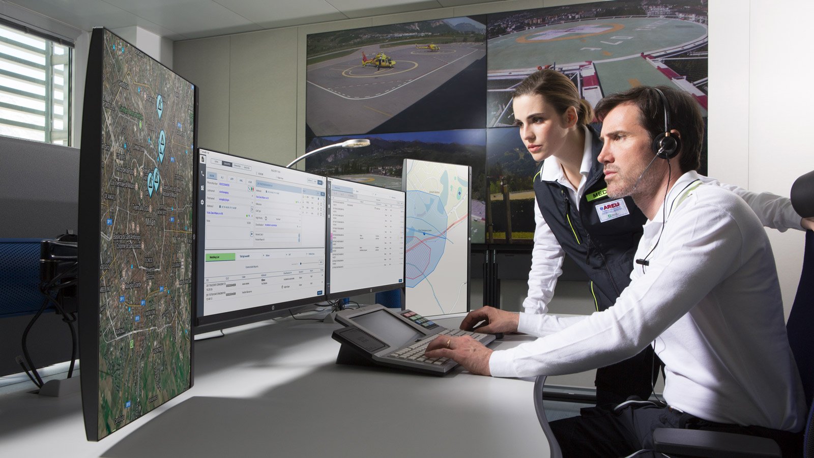
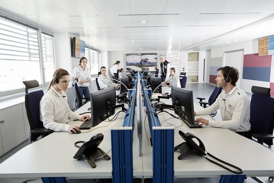
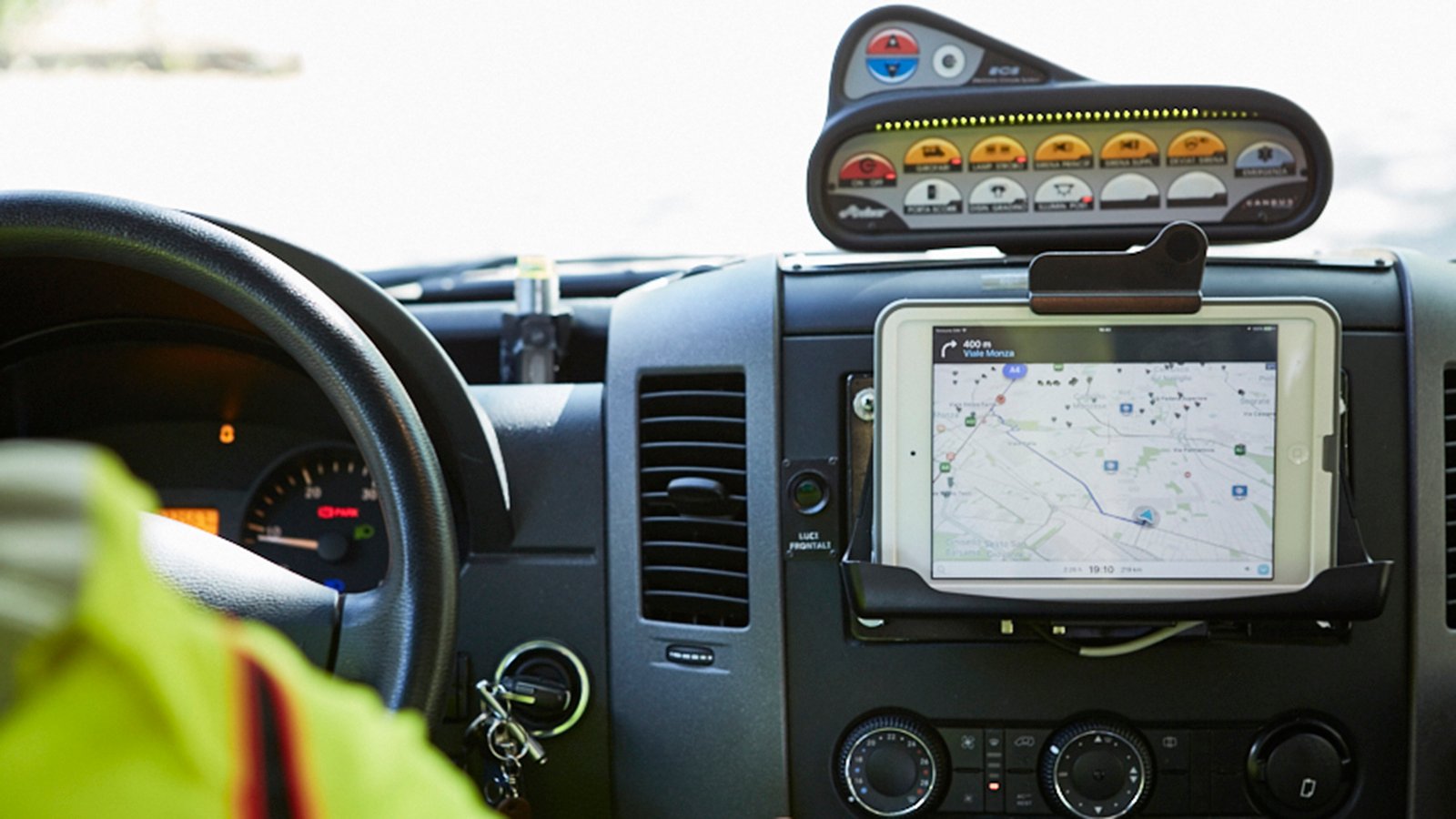
1520 CROCE ROSSA ITALIANA - La nuova Centrale di Risposta Nazionale
IL CASO DEL CURTO - Transizione 4.0 e Automazione Industriale
PONTI E VIADOTTI - Linee guida per il monitoraggio
112 MACEDONIA DEL NORD - Il primo sistema NG112 in Europa
WIRELESS SENSOR NETWORK - Come migliorare la gestione delle condotte idriche
COMUNE DI PESCARA - Ottimizzare la gestione dei rischi naturali
PROGETTO TURNKey - Previsione e gestione terremoti
GESTIONE EMERGENZE 4.0 - Intervista a Francesco Silanos, Manager ECM
LE SOLUZIONI BETA 80 PER LA SICUREZZA - Intervista a Fabrizio De Luigi, Sales Executive
COME ANTICIPARE UNA CRISI - Intervista a Fabrizio De Luigi, Sales Executive
CONTROL ROOM DEL FUTURO - Intervista a Fabrizio De Luigi, Sales Executive
Per dubbi, domande o approfondimenti...


.jpg)


.jpg?width=274&height=137&length=300&name=Radio%20over%20IP%20(1).jpg)

.jpg?width=274&height=137&length=300&name=ECM_AI%20migliora%20call-handling%20(1).jpg)


.jpg?width=274&height=137&length=300&name=guillaume-perigois-0NRkVddA2fw-unsplash(1).jpg)


.jpg?width=274&height=137&length=300&name=female-guard-pointing-at-cctv-on-screen-2025-03-16-19-39-16-utc%20(1).jpg)


.jpg?width=274&height=137&length=300&name=incident%20management%20energy%20(1).jpg)


.jpg)