.jpg?width=270&height=135&length=800&name=Radio%20over%20IP%20(1).jpg)
Geographic Information System | GIS

GIS: coordinating Emergency Response
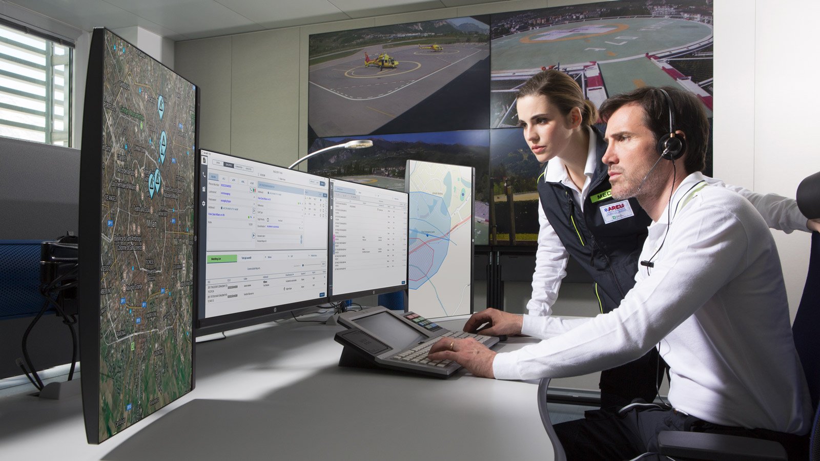
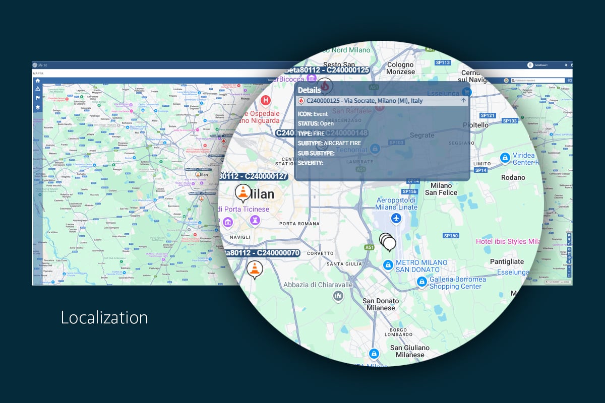
Emergencies can occur at any time, and for rescue teams, acting within the first few hours is crucial to saving lives. In this context, it is of the utmost importance to be able to locate events with precision and in a timely manner. The Geographic Information System (GIS) is a vital tool, providing an advanced platform for the organization, analysis and visualization of spatial data. GIS enables PSAPs to make informed decisions and coordinate operations more efficiently thanks to its detailed and interactive maps.
GIS and CAD: a necessary integration
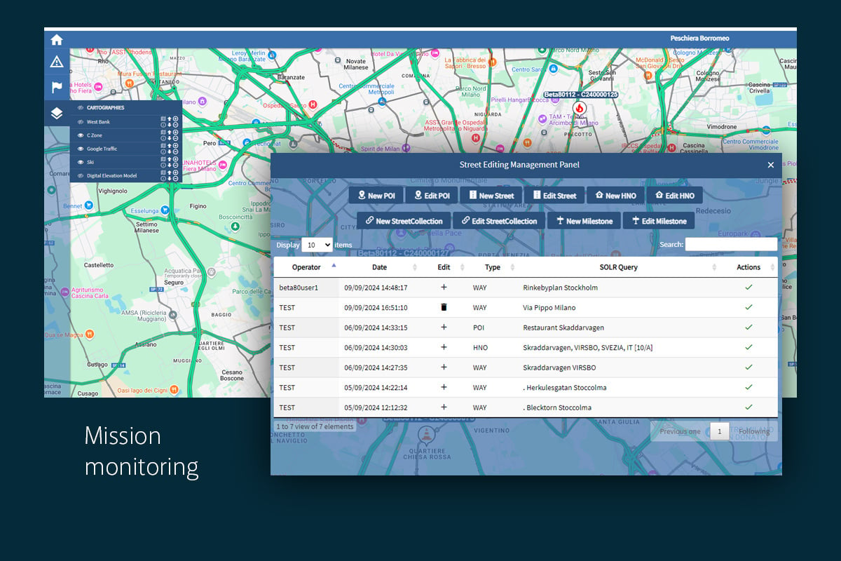
The GIS module of Life 1st CAD is a web-based platform that provides comprehensive mapping services, enabling real-time incident localization. The system enables the precise definition of intervention zones and the monitoring of the movement of rescue resources.
The GIS module within the CAD system ensures compatibility with a variety of geospatial formats, providing a flexible solution for PSAPs. The integration of these two systems allows for quicker and more informed decision-making throughout all stages of an emergency, which in turn improves response times and recovery efforts.


Related posts
.jpg?width=270&height=135&length=800&name=Radio%20over%20IP%20(1).jpg)

How AI can improve PSAP operator training for Emergency Call Handling

Hydrogeological emergency: integrating predictive models to optimize response

Total Conversation: the benefits of integrating voice, video, and text in emergency calls, and how to implement it


